Cadastral & Property Data

In-Depth Property Location Information
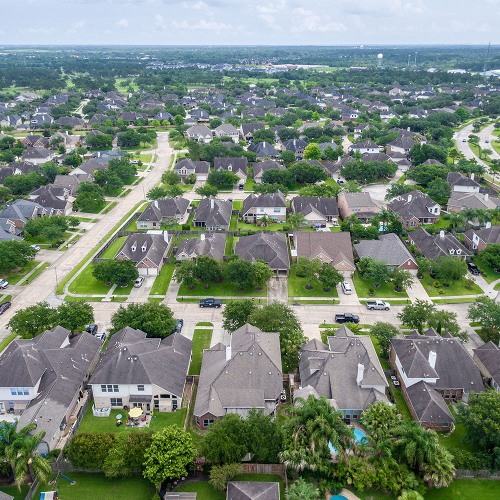
The national cadastral dataset (data representing real estate boundaries) is expanding at an increasing rate as urban and suburban areas accommodate the demands of a growing population.
We can help identify the following property location information:
- title number
- roll number
- property address
- owner names
- tenant names
- legal description
- mailing address
- dimensions
- property value

Parcel Data Provides Assistance with Business Decisions that Affect Everyday Life
They can be used for:
- taxation and assessment
- site selection
- owner / tenant notification
- map creation
- emergency response
In addition to the available property location information, parcel attributes, other datasets can be combined to provide extremely focused and targeted predictive analytics, for example:
- Customer data can be added to identify trends and statistics
- Municipal planners can easily forecast and analyze new areas of potential growth
- Future urban development areas are easier to identify with added land-use and environmental assessment maps
- By combining parcel and postal / zip data, clients can enhance marketing efficiency by targeting current customer postal areas
Explore Go360 Business Centre
Go360™ Business Centre comprises of a fully integrated suite of applications. Skilled people are part of the equation. Go360’s technology and data integration bring it all together to support users in their roles from technicians, operators, analysts, supervisors, and executives, so your staff and employees Spend Time Wisely.